


Marine science
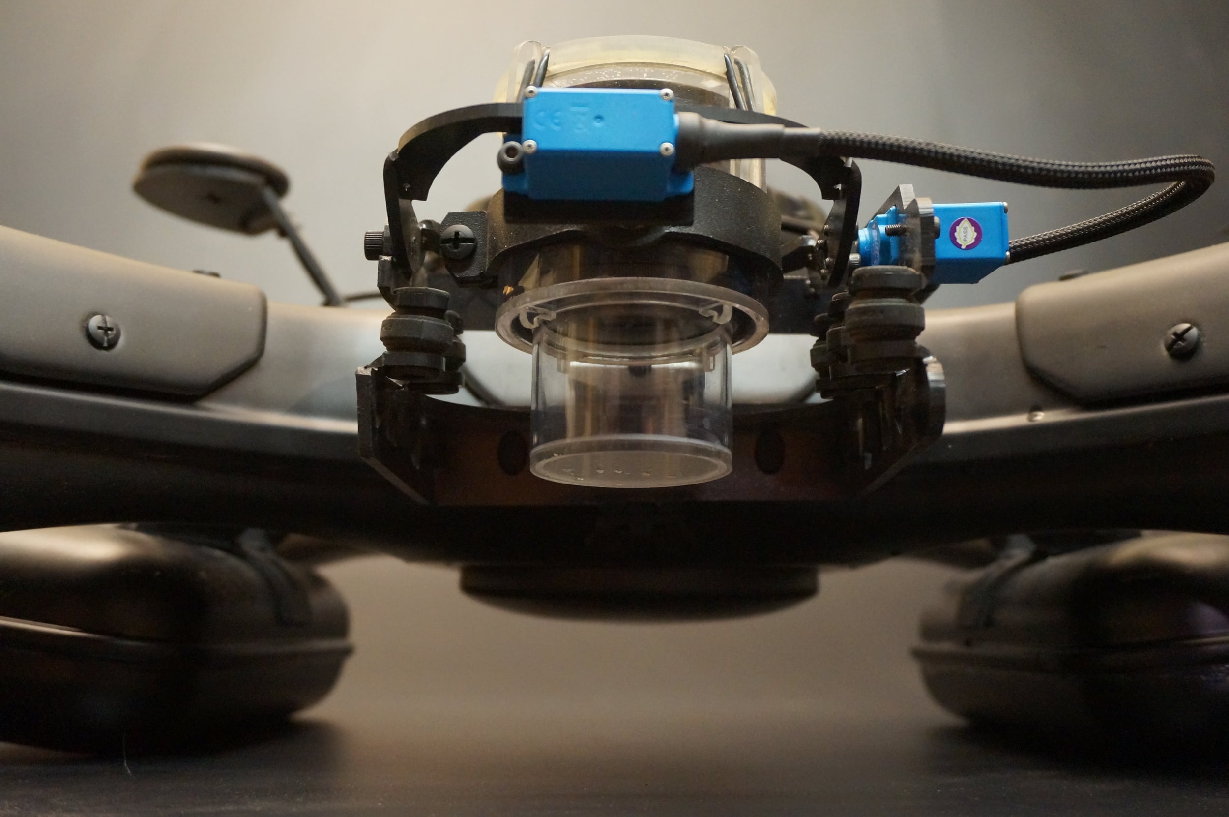
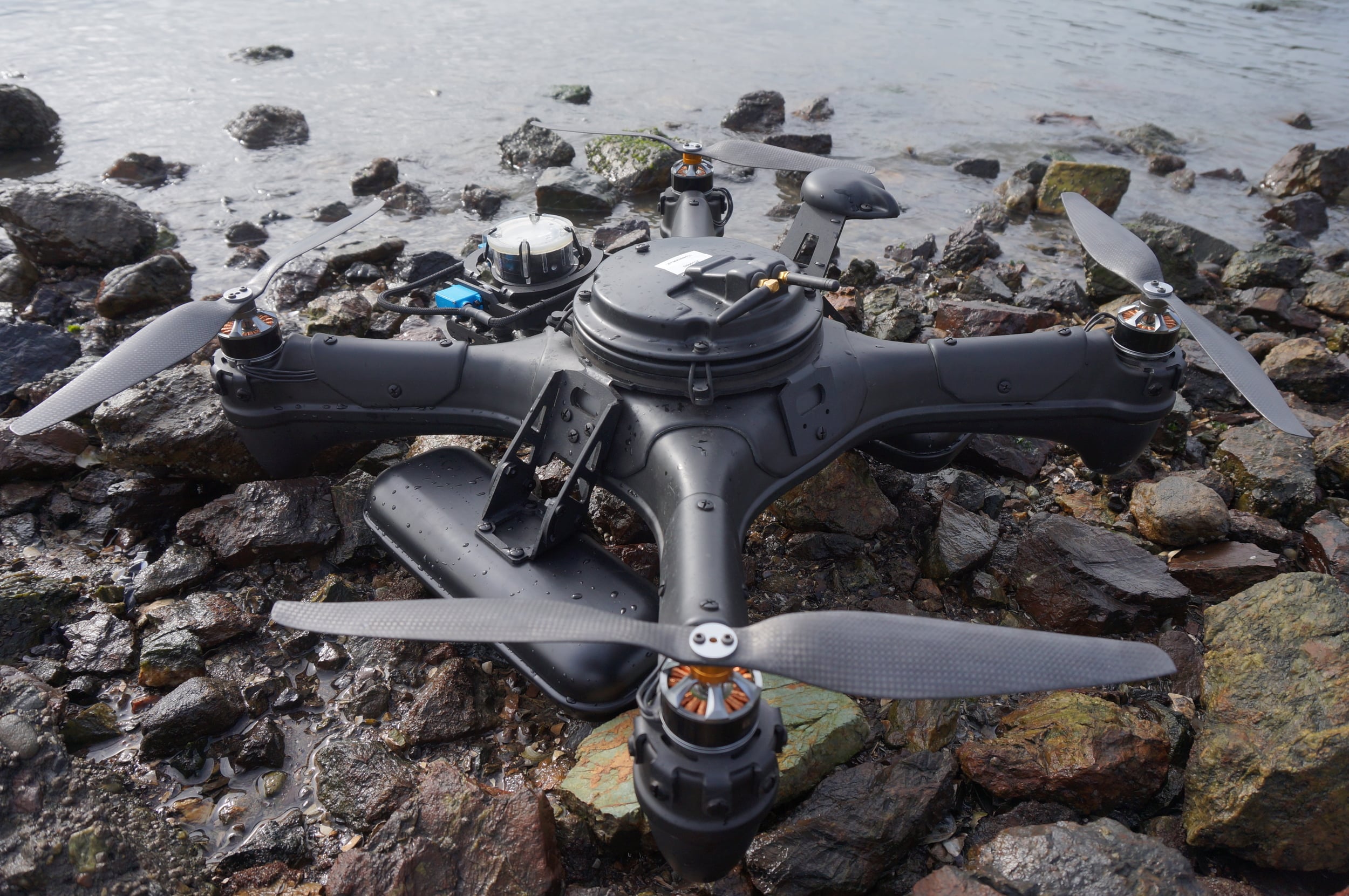
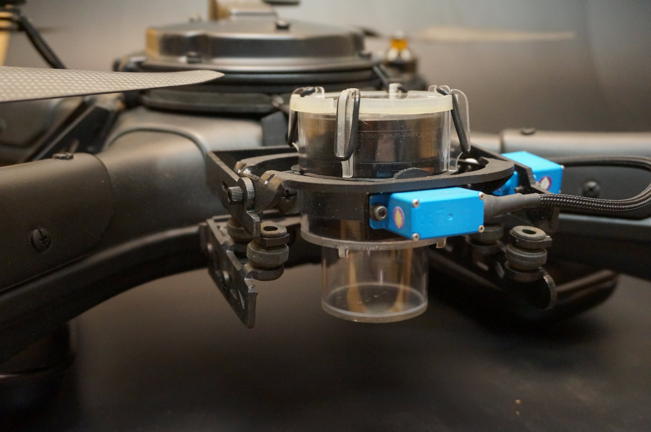
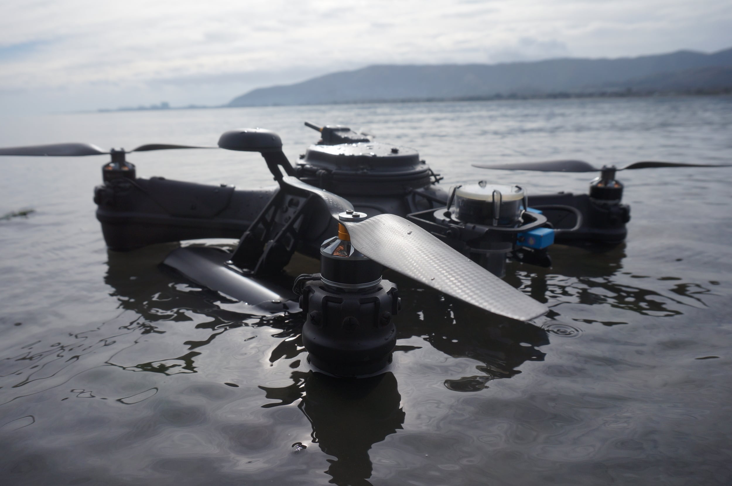
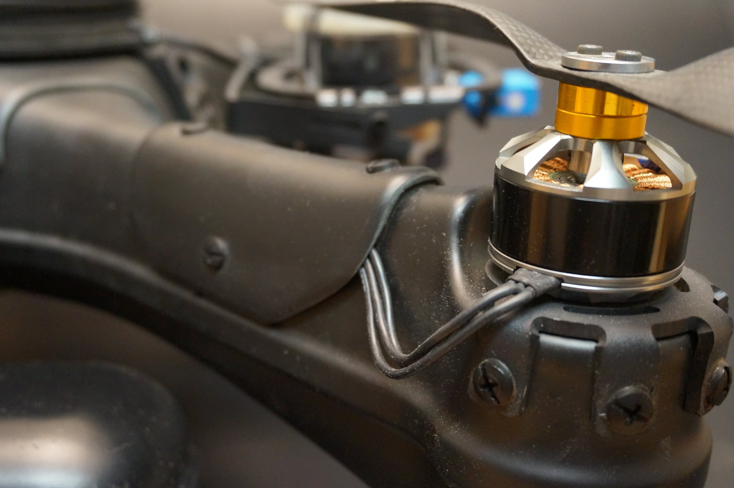
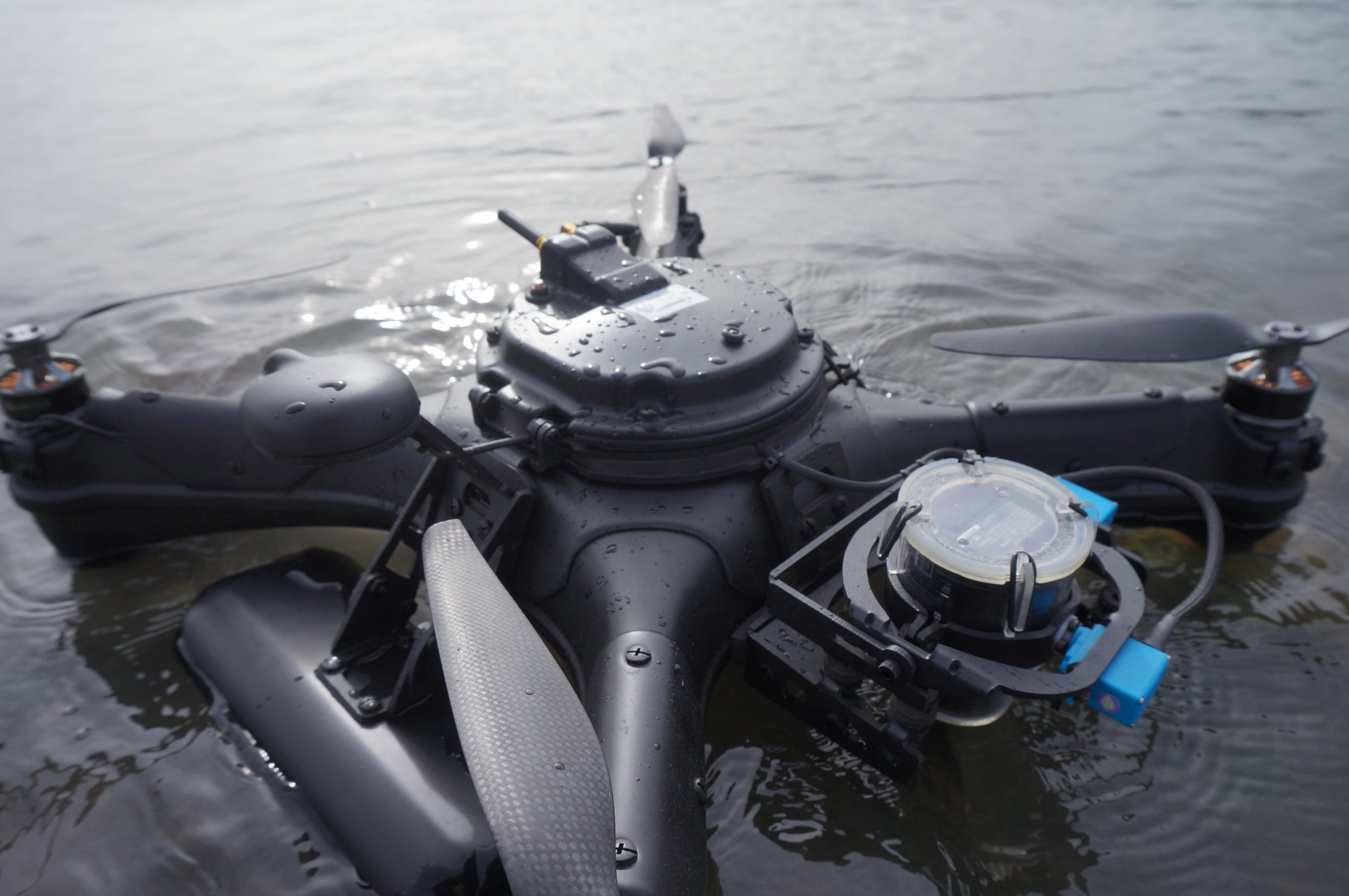
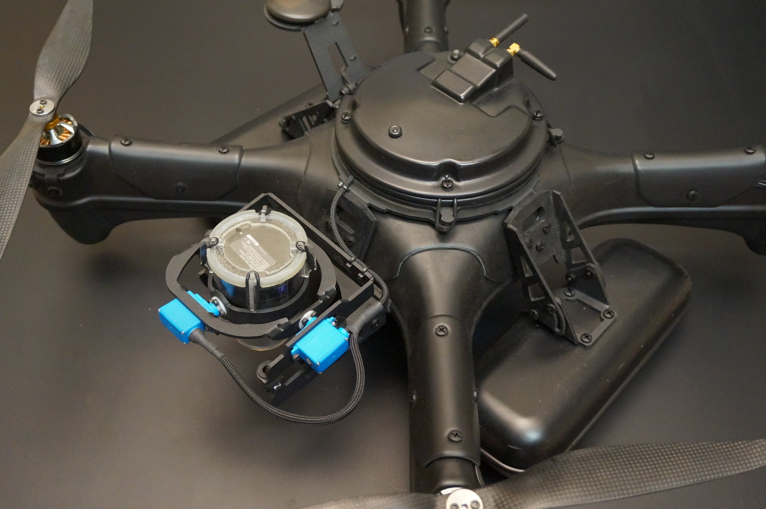
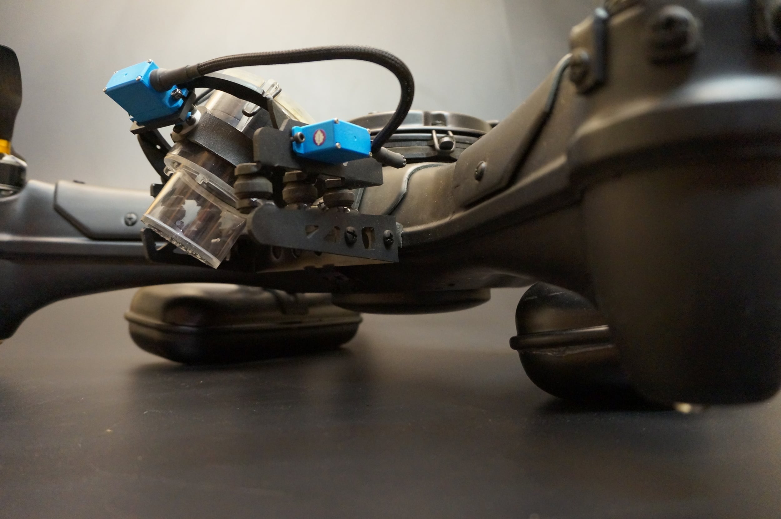
We have been developing this platform on and off for a couple of years now. We are collaborating with one of the original contributors, a marine biologist, to create a semi-autonomous/ remotely operated multi rotor UAV capable of landing and taking off from the surface of the water. It currently carries a Sony QX 100 in a waterproof enclosure.
The original designs were developed for passive water sampling of pH, temperature, and dissolved oxygen in the water. These and other sensors could be used to create detailed geo-located maps of water quality conditions
The concept of Virtual Monitoring Stations allows us to set the GPS way-points or monitoring locations to revisit for years to come within a few feet of accuracy.


Data Collection
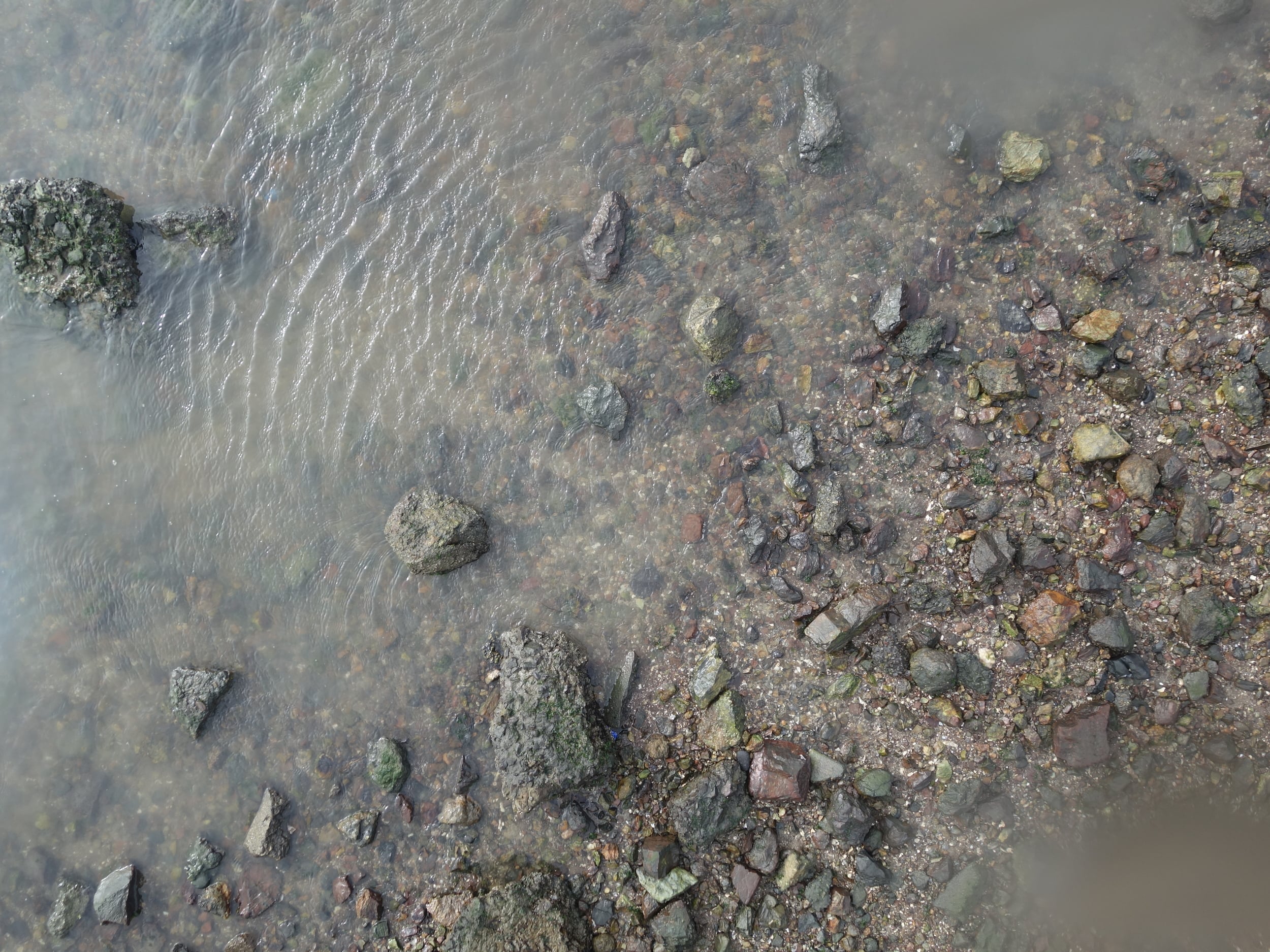
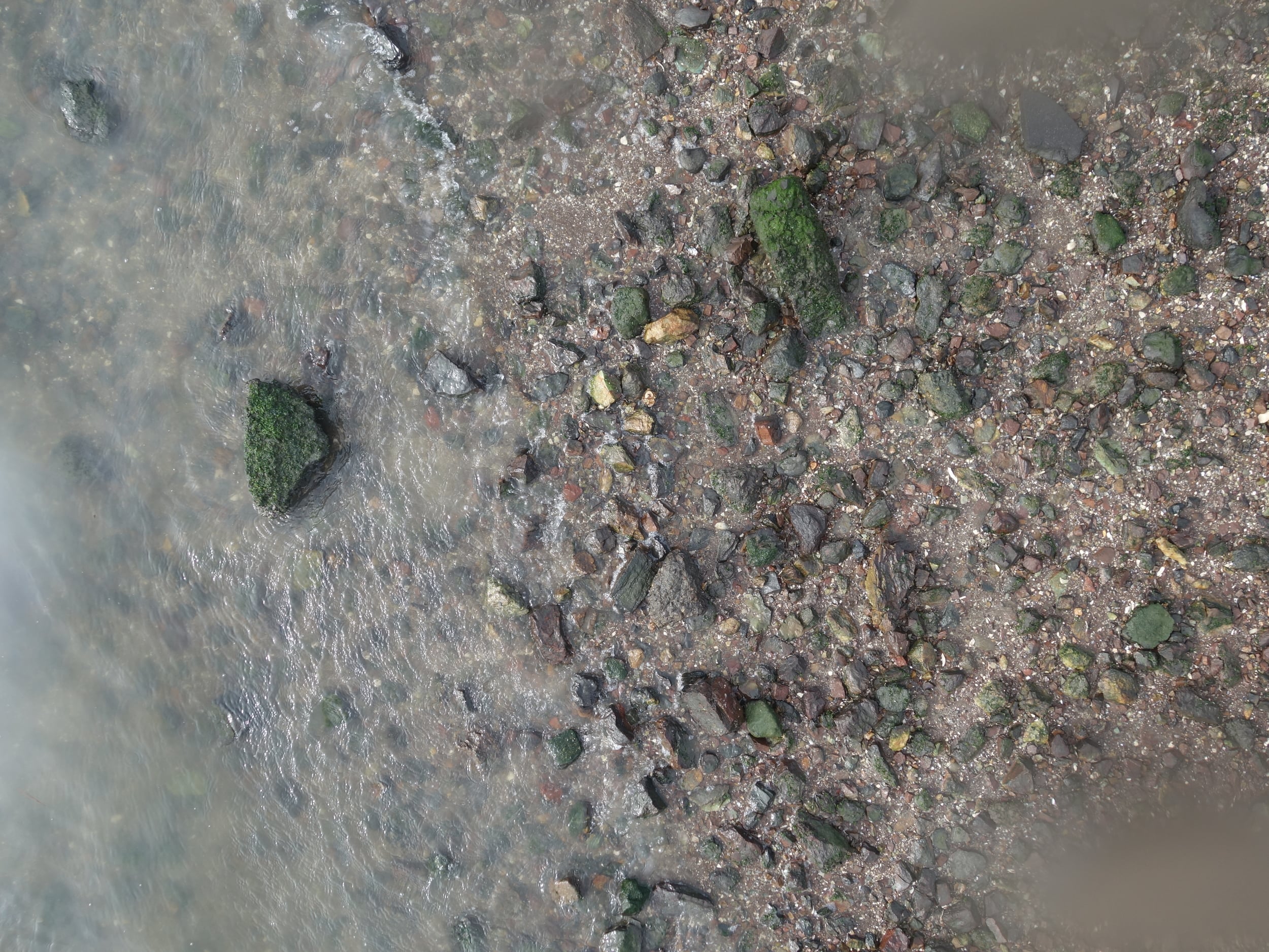
This type of platform can be useful for obtaining valuable, high resolution image data and 3D terrain models while having minimal lasting impact.
The AMPHIBIA platform serves multiple marine applications including
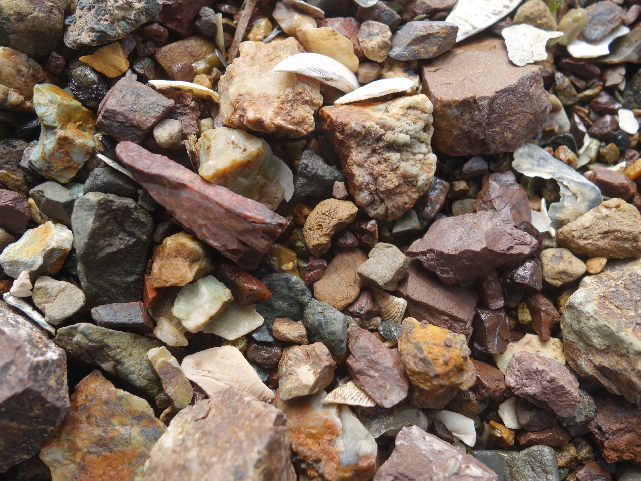
- Geo-located water sampling
- High resolution aerial imaging and 3D topographic mapping
- Underwater imaging
If you are looking for a system with these capabilities, please take a moment to fill out the form below and someone will contact you.